

II Social Cartography of the Terra Firme District
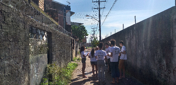
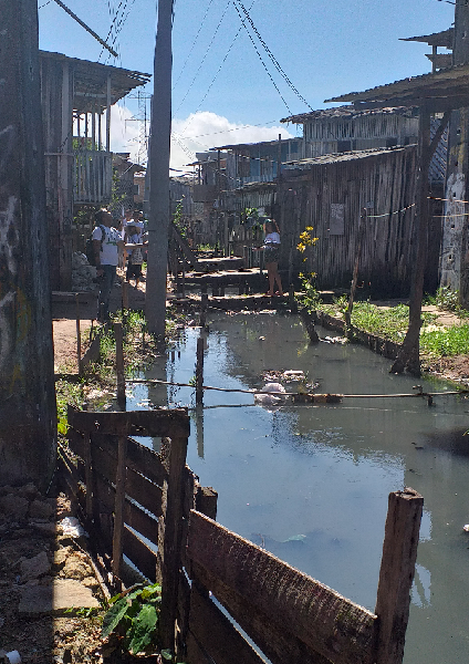
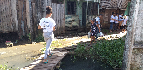
The Terra Firme District is a popular neighbourhood that has evolved from informal settlements in one of the largest Amazonian cities, Belém, in Northern Brazil. It has a lot of social problems including criminality and lack of sewage and clean water. However, it also has a dynamic economy and a rich culture that almost no one living outside the district knows it. Therefore, in 2018, during the Data Firme projects that aimed to generate data about the district, we coordinated a social cartography initiative.
Social Cartography is a tool for engaging the community in the generation of knowledge about their living space. During the Data Firme Project, we gathered university students residents in the Terra Firme District and Community Members to collect data.
As a result, we used OpenStreetMap to update the road network, identifying pathways that were not present in either the municipal database or Google Maps. Additionally, we created an interactive map displaying the findings in 9 categories: 76 sports and leisure spaces, 33 points of urban mobility, 47 educational establishments, 790 commercial establishments, 30 cultural enterprises, 14 community organizations, 123 churches, 4 health centers, and 616 services.
